

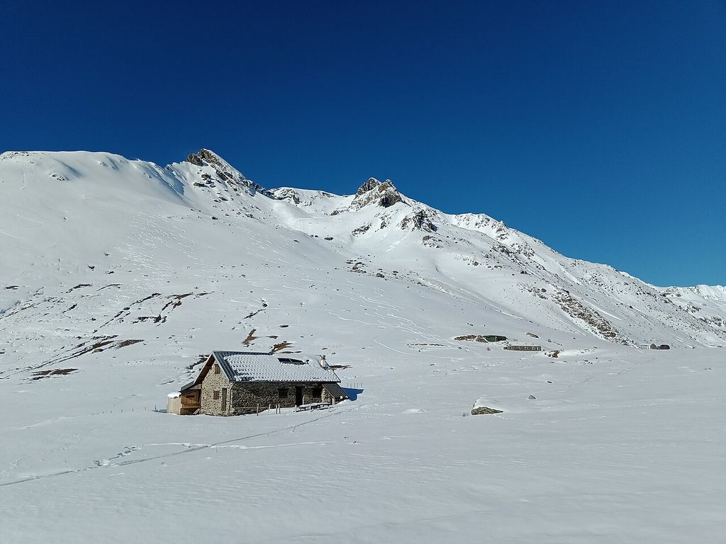

Col de Sarenne
Scenic stop · France
At a glance
Scenic stop · France. Updated October 2026.
About this place
A paved road over the Grandes Rousses about 9 km east of Alpe d'Huez, linking the resort with the Romanche valley villages of Mizoën and Le Freney-d'Oisans. The Tour de France used it in 2013 to climb Alpe d'Huez twice in one stage, and again in 2026.
Where it is
6 km from Mont-de-Lans
1,989 m above sea level
Around here
- 34kmTeam Yamaha MenduniWorkshopW
- 27kmCarmelo MotoMoto shopNW
- 6kmMont-de-LansNearest town
Distances are in a straight line.
Passes nearby
Views nearby
Other places to sleep nearby
Improve this nest
Rider-checked places for motorcyclists, worldwide.
Place data: Motonest riders, OpenStreetMap contributors (ODbL) and Overture Maps.