

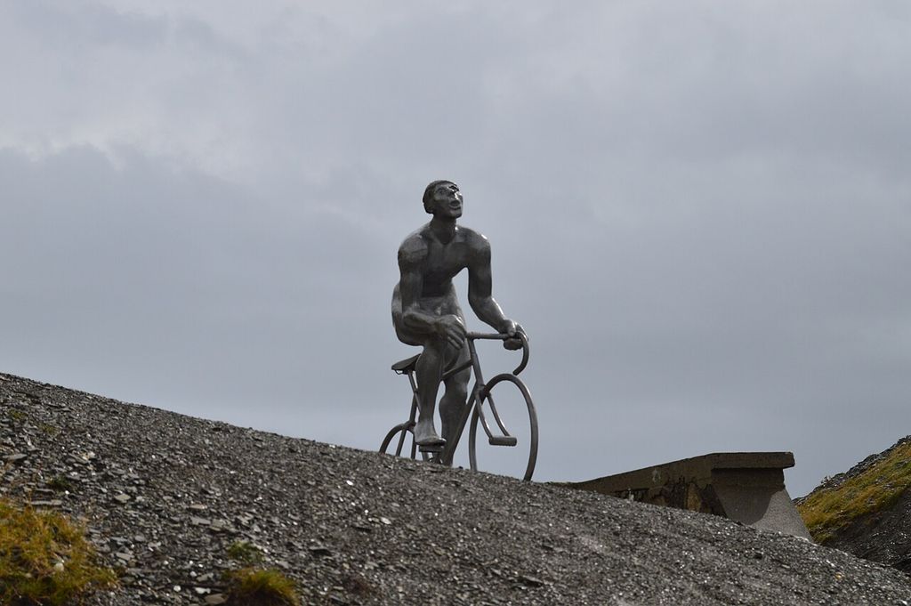

Col du Tourmalet
Scenic stop · France
At a glance
Scenic stop · France. Updated October 2026.
About this place
The D918 Route des Cols crosses here, about fifty kilometres south of Tarbes, one of the highest paved passes in the French Pyrenees. Sainte-Marie-de-Campan lies at the foot of the east side, with La Mongie two-thirds of the way up, and Barèges sits on the west side above Luz-Saint-Sauveur.
Where it is
12 km from Campan
2,120 m above sea level
Around here
- 33kmMoto ExpertMoto shopN
- 32kmETS VIAUWorkshopNE
- 12kmCampanNearest town
Distances are in a straight line.
Passes nearby
Views nearby
Other places to sleep nearby
Improve this nest
Rider-checked places for motorcyclists, worldwide.
Place data: Motonest riders, OpenStreetMap contributors (ODbL) and Overture Maps.