

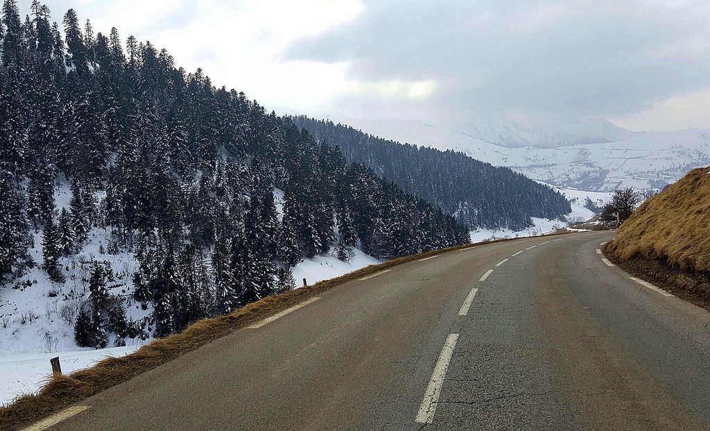

Col de Peyresourde
Scenic stop · France
At a glance
Scenic stop · France. Updated October 2026.
About this place
A road col of the central Pyrenees on the D618 between Arreau and Bagnères-de-Luchon, part of the Route des Cols. The top marks the boundary between Haute-Garonne and Hautes-Pyrénées. The road is paved.
Where it is
11 km from Bagnères-de-Luchon
1,584 m above sea level
Around here
- 19kmMountain MotorsWorkshop and moto shopE
- 11kmBagnères-de-LuchonNearest town
Distances are in a straight line.
Passes nearby
Other places to sleep nearby
Improve this nest
Rider-checked places for motorcyclists, worldwide.
Place data: Motonest riders, OpenStreetMap contributors (ODbL) and Overture Maps.