

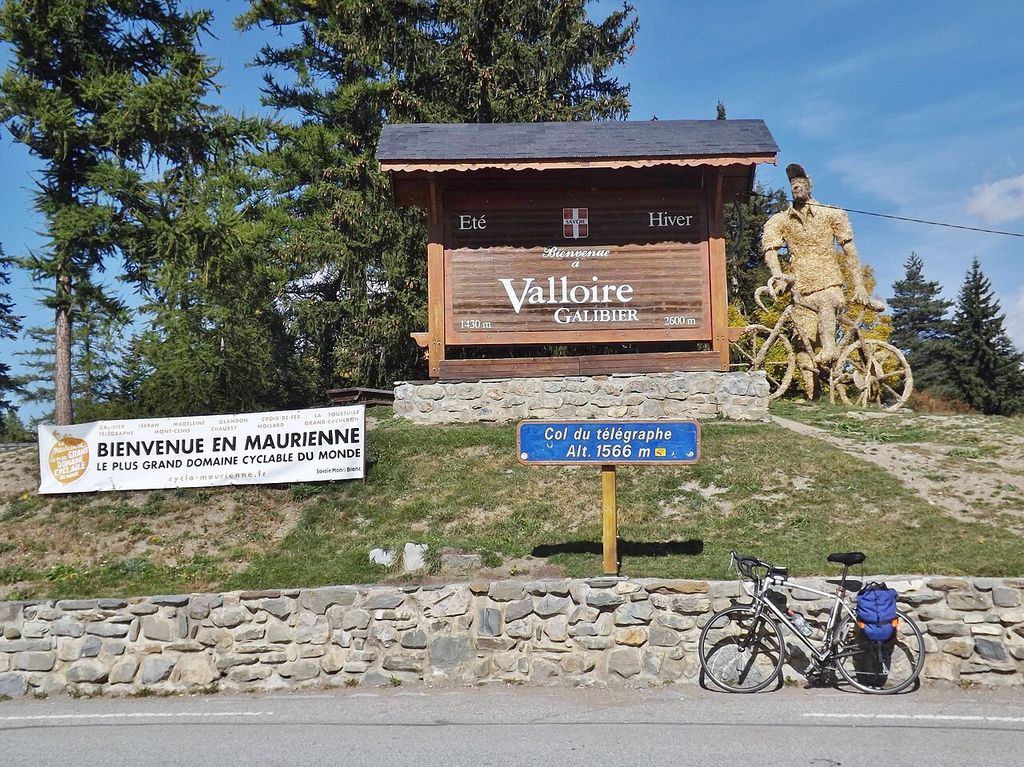

Col du Télégraphe
Scenic stop · France
At a glance
Scenic stop · France. Updated October 2026.
About this place
Links Saint-Michel-de-Maurienne with Valloire on the D 902 and is the first step of the Galibier climb from the north. The old Fort du Télégraphe stands near the top, high above the Maurienne valley. The road is paved.
Where it is
3 km from Saint-Michel-de-Maurienne
1,564 m above sea level
Around here
- 42kmTarentaise Loisirs ServicesWorkshopN
- 38kmNico MotoMoto shopS
- 3kmSaint-Michel-de-MaurienneNearest town
Distances are in a straight line.
Passes nearby
Views nearby
Other places to sleep nearby
Improve this nest
Rider-checked places for motorcyclists, worldwide.
Place data: Motonest riders, OpenStreetMap contributors (ODbL) and Overture Maps.